Avena+ Test Bed – Agricultural printing and altered landscapes
Created by Benedikt Groß, Avena+ Test Bed is a project that explores the relationship between landscape, agriculture and digital fabrication by intercepting the process of precision farming by generative design. The emphasis of the project lays in speculating about new models which would enhance current agricultural practices, and to then imagine their possible implications.
With the advent of Precision Farming, agriculture has become fully mapped and will transform farming to a highly digital activity. This in combination with other changes underway in the countryside, mainly the paradigm shift from food to biogas production and various EU subsidy schemes to promote diversity, will lead to disruptive changes within the next few years for the (European) countryside.
The project uses the idea of “Agricultural Printing” to explore the possibilities of digital fabrication carried over into farming. The experiment applies algorithms to partition and to create an environmentally beneficial arrangement of plantation to establish, or improve, the connectivity for fauna and flora between habitats.
This increased diversity also eases typical problems of monocultures e.g. less vermin → reduced usage of pesticides. Furthermore a farmer could “rent out” the areas for several months a year as compensatory area in the same fashion like the CO2 emissions trading scheme works (in the EU every new land for building has to be compensated). Hence in the near future a farmer might not just produce oats, peas, beans and barley, but also print “environment compensations areas” into his fields.
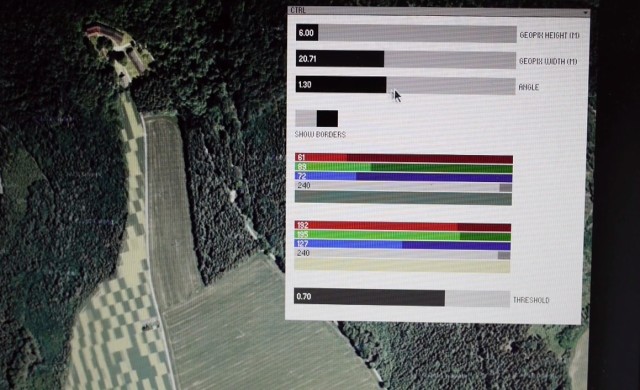
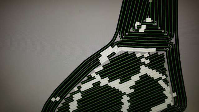
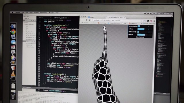
The process included conversion of circumference points to area/polygon with a python script and then exported to a geojson file. Fine tuning of the bounds.geojson file was done in QGIS and illustrator (Benedict had to write an importer/exporter). The new pattern was generated in paper.js, based on bounds.geojson and exported to svg and png. Custom Processing sketch baked the bounds.geojson and the pattern.png (with a pixelsize of 3 mx 3m) to a “print file” for the tractor. There was one file for each “color”: oat seed and flower/herb seed mix. The final oat.geojson and flowers.geojson were converted to shapefiles in QGIS. These files were then imported (oat.shp and flowers.shp) to “Farmworks” (= the CS Suite of a farmer, to convert everything to agricultural machinery speak binary files.
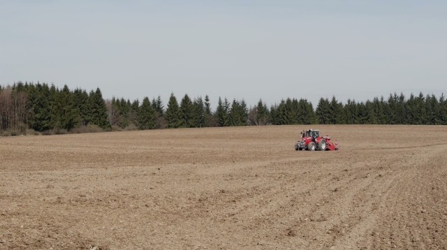
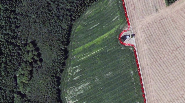
The circumference of the plot is recorded on site using GPS coordinates. 11.5 hectares (320 m x 920 m) in Unterwaldhausen, South Germany
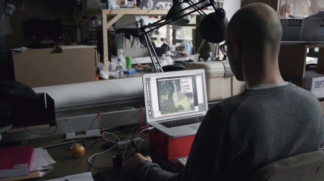
Benedikt uses the data collected to devise best algorithm for the plot division and route planning.
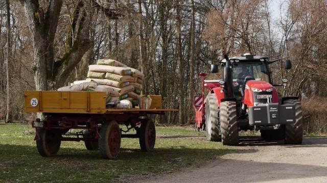
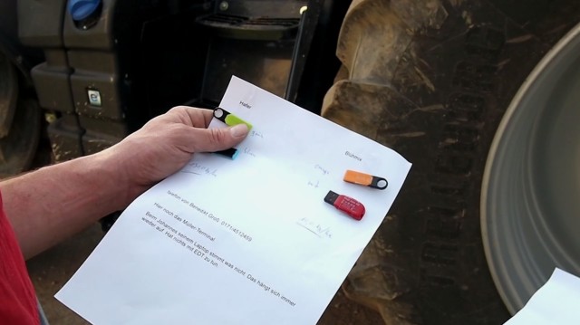
The data is provided back to the farmer contained on USB memory sticks. Location mapping is done using External GPS/GLONASS reference station for maximum accuracy
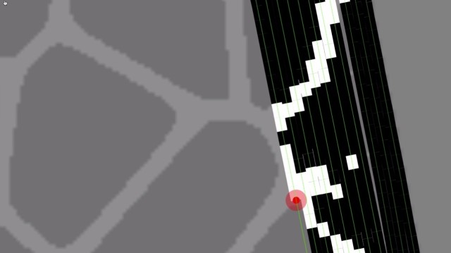
The planting process simulation.
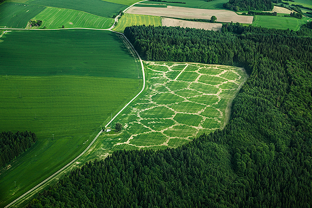
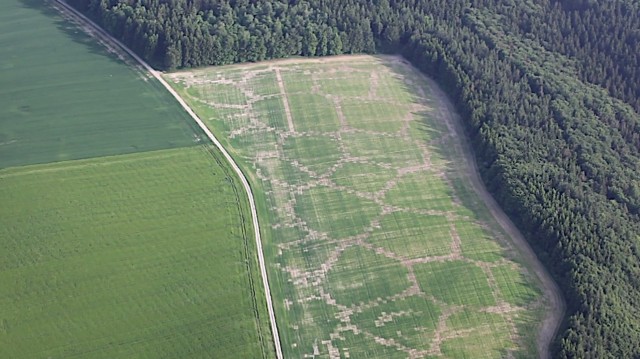
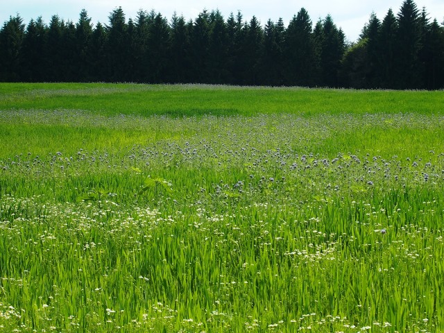
Mid-Final result. 85% oats (Avena Sativa), 15% eleven different flowers and herbs. Photo of the test bed, flowers are hardly visible (end of May). By the end of July 2013 the test bed will be harvested to produce biogas.
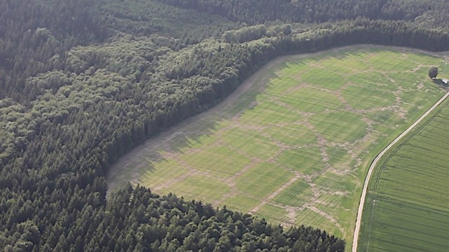
Picture below taken in July 2013
沒有留言:
張貼留言